Hisham Nuhu

Hisham NuhuFlood and disaster risk specialist

Turning flood risk evidence into change on the ground.

I build the evidence, develop and appraise projects, assemble partnership finance, work with communities and share results until decisions move.

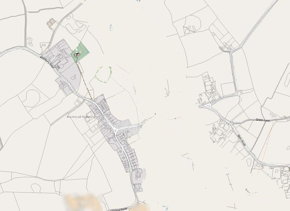
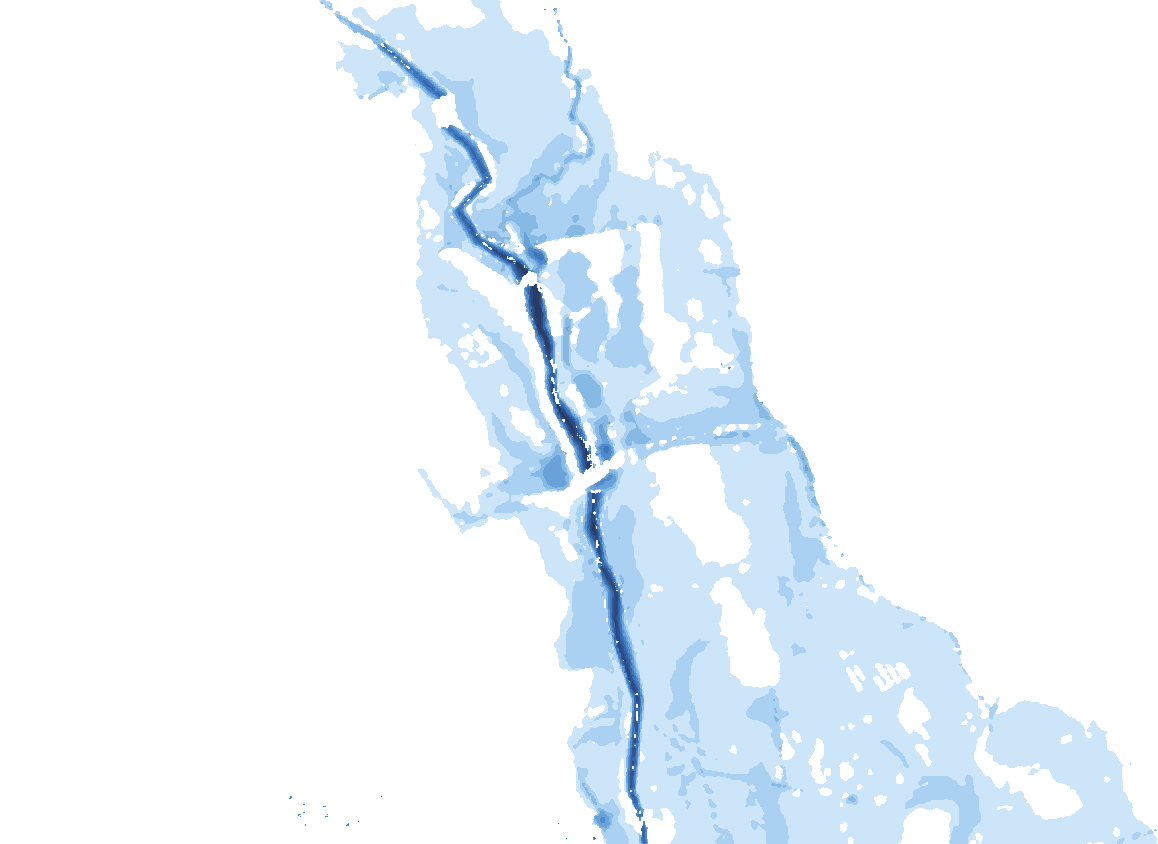
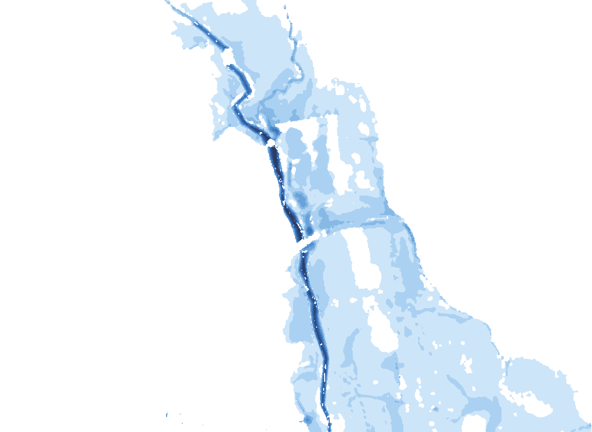
Real model output: a 1-in-100-year flood, plus 29% for climate change, spreading across the Hamstall Ridware floodplain in the 2022 model I built jointly with an Environment Agency modelling colleague. Replayed, not to time scale.

Animated map: in the 2022 Hamstall model of a 1% AEP flood with a 29% climate allowance, water spreads over 79 hours to cover 149 hectares of the River Blithe and Trent floodplain at Hamstall Ridware.

years of professional flood risk experience
about7
estimated value of the council-led flood schemes I supported
over US$5.2m
districts in Ghana screened for damage and for people exposed
260
incident weeks warning communities as Flood Warning Duty Officer, south-east London
10

From evidence to change

Evidence is the start. Change for people is the measure.

Managing flood risk is “a continuous process of analysis, adjustment and adaptation of policies and actions” (Sayers et al., 2013, Box 2, p. 10). I have worked at every stage, and four of the six happen before the water rises. Scroll to follow a flood through them.

Stage 1 of 6 · years ahead, while rivers are low

Understand the risk

First, find out who and what could flood, and how often. I worked out the river flows for a Staffordshire village, and screened all 260 of Ghana’s districts for damage and for the people at risk.

Technical
River-flow estimates, a linked 1D–2D flood model built with an Environment Agency colleague, and a national risk screen tested for uncertainty.
People
Residents’ own records of the 2020 flood at Hamstall; children and older people counted in Ghana.
Delivery
Commissioned a river survey; supported two flood-mapping model updates.
Stage 2 of 6 · years ahead

Plan and appraise

Next, compare the options and their value for money. For Hamstall I carried out my own cost–benefit appraisal (self-initiated, not a formal Environment Agency submission): on a standard basis, an earth bund came out best, with benefits about 4.6 times its cost.

Technical
Valued the damage to homes and to residents’ mental health, and tested peak flows 15% to 29% higher for climate change.
Policy
Flood risk activity permits for river works in the West Midlands, and planning advice on building in and near Flood Zones in London.

Stage 3 of 6 · years ahead

Finance and partnerships

Then put the funding together. In London I supported three council-led schemes, with an estimated value of over US$5.2m, that combined national grant with contributions from partners.

Delivery
Progress meetings and spending checks with council partners.
In ADB and World Bank terms
National grant, local contributions and private funds work like counterpart funds and co-financing.

Stage 4 of 6 · months ahead

Deliver

Then build it and keep it working. I supported councils delivering sustainable drainage in schools and a flood storage basin at Chessington, and I was support project manager on refurbishing three pumping stations so that eels can pass safely.

Delivery
Regular progress meetings, delay tracking and change records with council partners, and project set-up for the pumping stations.
Policy
Environmental rules: eel regulations, the Water Framework Directive and flood risk permits.

Stage 5 of 6 · hours ahead and during the flood

Warn and respond

When a flood comes, people need warning in time. As Flood Warning Duty Officer for south-east London I worked 10 incident weeks, responded overnight to river-level alerts, and kept police and ambulance services involved when an incident escalated from yellow to red.

Technical
Checking forecasts and live river levels against the warning thresholds.
People
Alerts and warnings to residents and businesses by phone, text and email.

Stage 6 of 6 · after the flood, then back to the start

Share, learn and adapt

Afterwards, learn and improve. When I found that floodwater bypasses the village river gauge in big floods, I redid the Hamstall river flows rather than defend the earlier estimate. I now share the Ghana results with the World Bank’s Accra-based team.

Technical
Models checked against real floods: residents’ records at Hamstall, and satellite images of the 2020 White Volta flood in Ghana.
People
Results presented to the village, and for discussion with the World Bank.

Two tiers, one method

A whole country and a single river

A national screen shows where to look; a detailed study shows what to do there. I work at both scales and hand over between them.

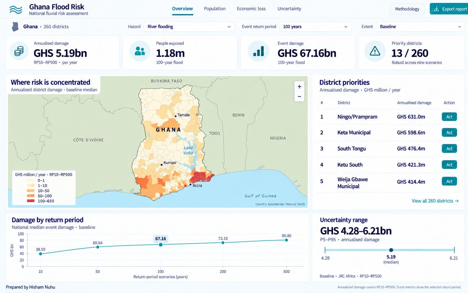
Prototype view of the national dashboard for the Ghana screening: headline figures, a district damage map and a ranked list of priorities. National tier · where to look 260 districts, ranked by risks that hold up under uncertainty Ghana, 2025–26: a prototype decision-support view for ministries and task teams. Ghana flood risk
OpenStreetMap basemap of Hamstall Ridware and the River Blithe and Trent floodplain. Baseline modelled flood depths: water crosses the right bank into the village. Modelled depths with the right-bank defence raised: the village stays dry and water spreads across farmland. Baseline Raised defence
Detailed tier · what to do One village, four options, a bund the farmers built Hamstall Ridware: a 1-in-100-year flood plus 15% for climate change. Drag to compare the flood as things stand with the raised defence. Hamstall Ridware

National tier · Ghana, 2025–26

Where should a country act first, and for whom?

My independent screening of Ghana, presented for discussion with the World Bank and now shared with its Accra-based team. Five readings, one map.

1 of 5 · Hazard, exposure, vulnerability

260

districts, every one screened for river flooding

Built from open global data (flood maps, about 13 million building footprints and population counts), so the method works in other countries with little local data.

2 of 5 · People

1.18million people

live where a 1-in-100-year river flood is modelled to reach

A 1-in-100-year flood has a 1% chance of happening in any year. About 421,700 of these people are children. Ranking districts by people rather than by damage changes the list. Modelled estimates (range 1.16–1.20 million), not official figures.

3 of 5 · Modelled annual damage

GHS5.19bn a year

in modelled residential river flood damage (≈US$413m)

This is the expected annual damage: the long-run yearly average across floods from 1-in-10 to 1-in-500-year. 86.8% of it falls in just 20 districts. A Monte Carlo analysis of 11.7 million district-level damage calculations gives a range of GHS 4.28–6.21bn.

4 of 5 · Priorities that survive uncertainty

13Act districts

stay in the national top 20 in all nine combinations of flood map and damage curve

13 more appear in some (Investigate) and 234 in none (Monitor). Act means look here first, with local study and community engagement; it does not mean restrict. Monitor does not mean safe.

5 of 5 · The coast

132.3km²

of connected flooding at the 1-in-100-year sea level today; 182.4 km² with 2050 sea level (+0.25 m)

Extreme sea levels combine tide, storm surge and waves, for 57 sections of coast. The largest flooded areas are around Ada and the Volta estuary.

Static connected-inundation screening with provisional forcing, not a 2D model; a 2D model is the next step.

Built on international practice

Ready for the way development partners work

I frame my work in the language of the three frameworks most terms of reference use, so it fits a partner’s project cycle without translation.

United Nations

Sendai Framework 2015–2030

The global agreement on disaster risk reduction: understand risk, strengthen governance, invest in reducing it and prepare to respond, with Early Warnings for All.

Asian Development Bank

Project cycle and DRM Action Plan

From due diligence and the design and monitoring framework (DMF) to implementation, with river-basin work under the Resilient River Basin Initiative.

World Bank

Investment projects and resilience

The project cycle from concept note to completion report, with results frameworks, the Resilience Rating System and the priorities of the Global Facility for Disaster Reduction and Recovery (GFDRR).

Alignment of language and method, not certification or endorsement.

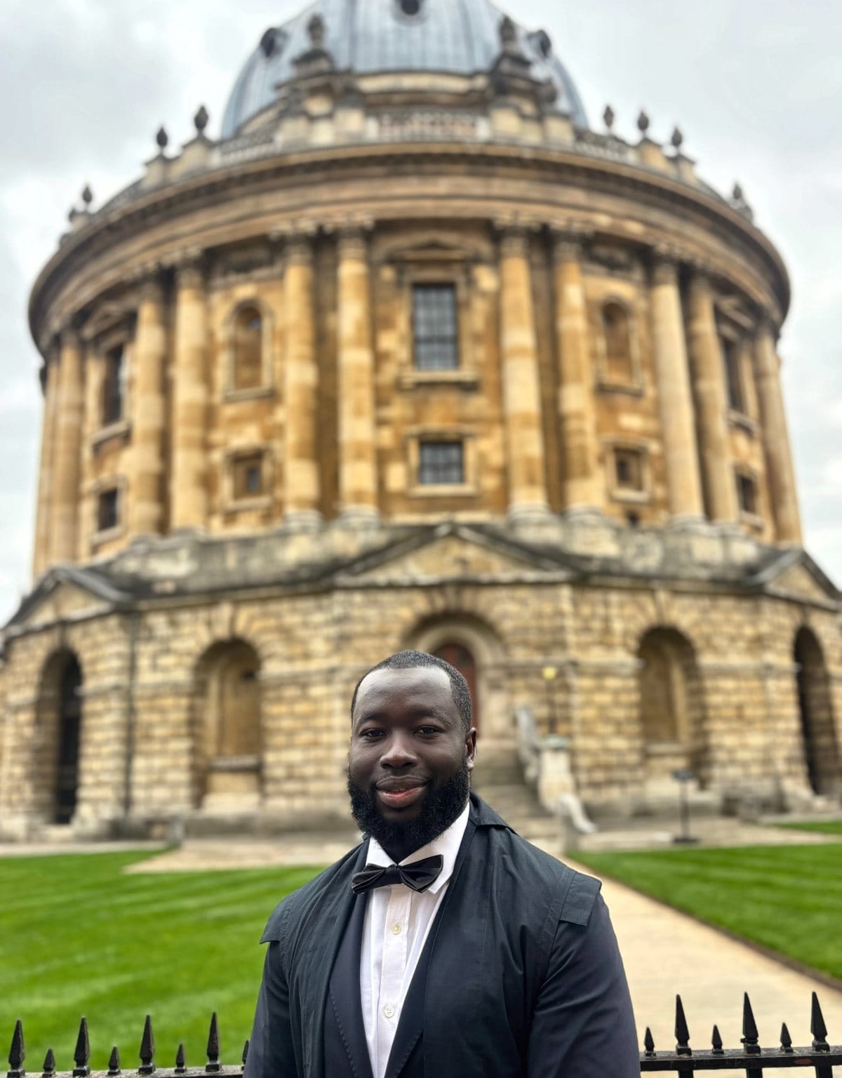
Hisham Nuhu in front of the Radcliffe Camera, Oxford

Training and record

An engineer’s training, an Oxford policy degree, and about seven years in practice.

University of Oxford
MSc Water Science, Policy and Management, 2025–26
Brunel University London
BSc Flood and Coastal Engineering, 2020–22; FdSc Flood and Coastal Engineering, 2018–20
Environment Agency (England)
2019–2025: modelling, partnership-funded schemes with councils, schools and farmers, flood warning duty
Ghana
Independent national flood risk assessment, presented for discussion with the World Bank and now shared with its Accra-based team
Education